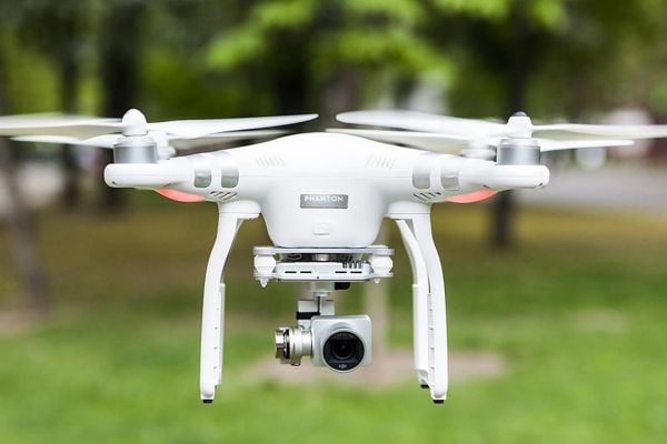


Top 7 Features of the DJI P1
When it comes to creating accurate 3D maps or models of real-life environments, photogrammetry is the go-to technology for surveyors, mappers, GIS professionals, and AEC managers worldwide. Photogrammetry is the science of collecting data and measurements from 2D photos that have been captured from different vantage points, often via drone surveying. These photos are then post-processed using drone photogrammetry software to create high-resolution 2D maps...